3.4.4. Landsat data
Last modified by Tuan Le on 2019/05/21 13:15
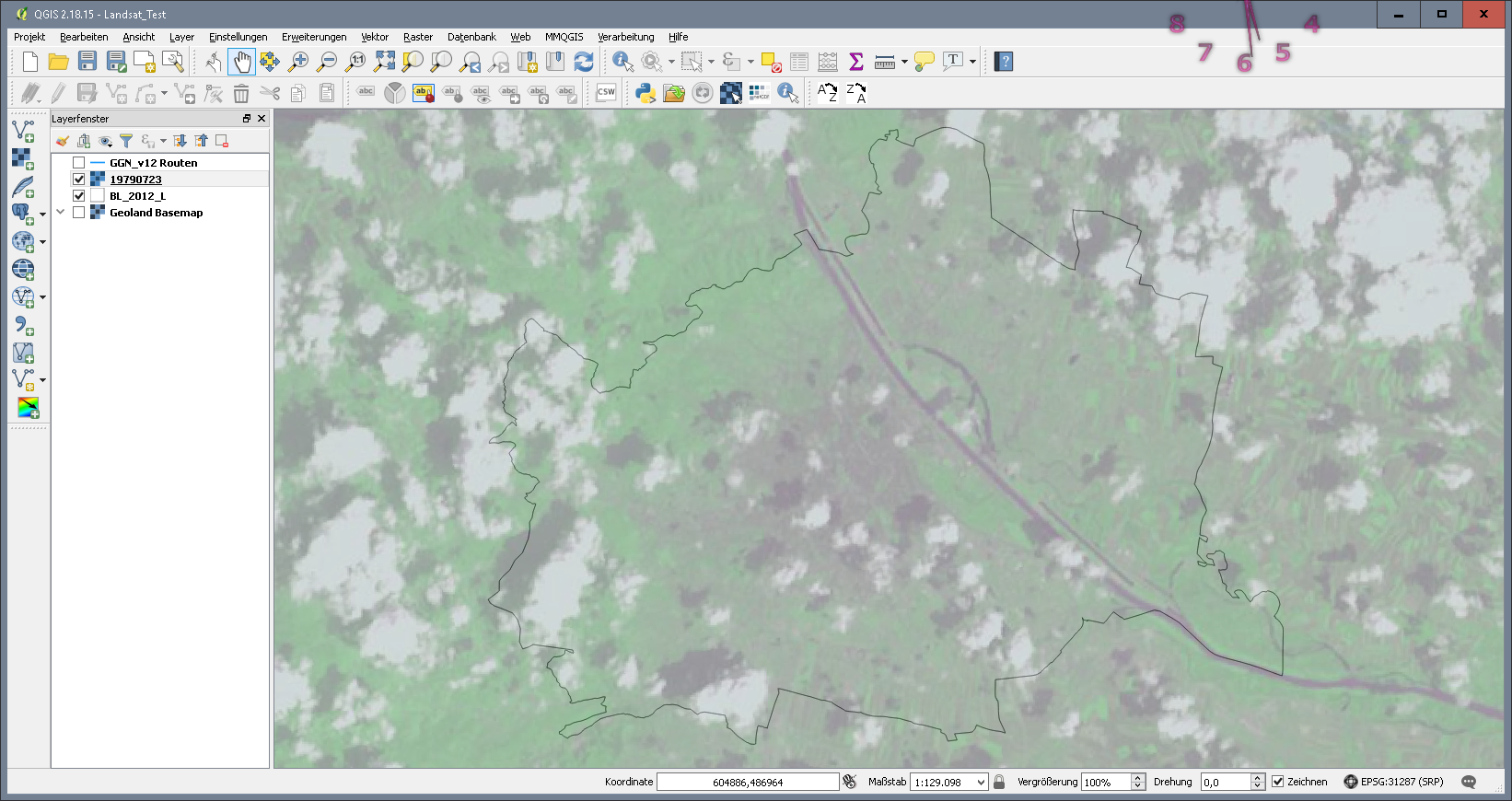
The Landsat program is the longest-running enterprise for acquisition of satellite imagery of Earth. On July 23, 1972 the Earth Resources Technology Satellite was launched. This was eventually renamed to Landsat. The most recent, Landsat 8, was launched on February 11, 2013. The instruments on the Landsat satellites have acquired millions of images. The images, archived at Landsat receiving stations around the world, are a unique resource for global change research and applications in agriculture, cartography, geology, forestry, regional planning, surveillance and education. (See also Landsat data access) The image below shows a Landsat 1 scene over Vienna from July 23 1979.
|