3.3. Datasets
Index
- Copernicus
- Digital Elevation Model
- Sentinel-1
- Sentinel-2
- Landsat program
| Copernicus is the world's largest single earth observation programme and is directed by the European Commission in partnership with the European Space Agency (ESA). It aims at achieving a global, continuous, autonomous, high quality, wide range Earth observation capacity. Providing accurate, timely and easily accessible information to, among other things, improve the management of the environment, understand and mitigate the effects of climate change, and ensure civil security. Its cost during 1998 to 2020 are estimated at 6.7 billion euros with around €4.3bn spent in the period 2014 to 2020 and shared between the EU (66%) and ESA (33%) with benefits of the data to the EU economy estimated at roughly 30 billion euros through 2030. ESA as a main partner has performed much of the design and oversees and co-funds the development of Sentinel mission 1, 2, 3, 4, 5 and 6. |
A Digital Elevation Model (DEM) is a 3D computer graphics representation of a terrain's surface – commonly of a planet (e.g. Earth), moon, or asteroid – created from a terrain's elevation data. A DEM can be represented as a raster (a grid of squares, also known as a heightmap when representing elevation) or as a vector-based triangular irregular network (TIN). The TIN DEM dataset is also referred to as a primary (measured) DEM, whereas the Raster DEM is referred to as a secondary (computed) DEM. The DEM could be acquired through techniques such as photogrammetry, lidar, IfSAR, land surveying, etc. |
Sentinel-1 (S1) is the first of the Copernicus Programme satellite constellation conducted by the European Space Agency. This space mission is composed of two satellites, Sentinel-1A and Sentinel-1B, that carry a C-band synthetic-aperture radar instrument which provides a collection of data in all-weather, day or night. The first satellite, Sentinel-1A, was launched on 3 April 2014, and Sentinel-1B was launched on 25 April 2016. Both satellites lifted off from the same location in Kourou, French Guiana, and each on a Soyuz rocket. Sentinel-1C and 1D are in development with launch dates to be determined. S1 collects data at 5 meter spatial resolution and has a revisit time of 3 days. (See also GERMAN Wikipedia) Existing data can be retrieved and accessed via the Copernicus Open Access Hub from ESA. To see which acquisitions are planned use this link. |
Sentinel-2 (S2) is an Earth observation mission developed by ESA as part of the Copernicus Programme to perform terrestrial observations in support of services such as forest monitoring, land cover changes detection, and natural disaster management. It consists of two identical satellites built by Airbus DS, Sentinel-2A and Sentinel-2B, with two additional satellites being constructed by Thales Alenia Space. S2 collects data at 10/20/60 meter spatial resolution for 13 spectral bands and has a revisit time of 5 days. (See also GERMAN Wikipedia) Existing data can be retrieved and accessed via the Copernicus Open Access Hub from ESA. To see which acquisitions are planned use this link. |
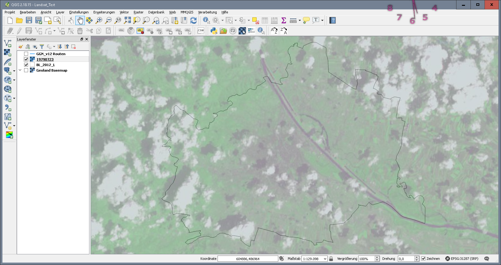
The Landsat program is the longest-running enterprise for acquisition of satellite imagery of Earth. On July 23, 1972 the Earth Resources Technology Satellite was launched. This was eventually renamed to Landsat. The most recent, Landsat 8, was launched on February 11, 2013. The instruments on the Landsat satellites have acquired millions of images. The images, archived at Landsat receiving stations around the world, are a unique resource for global change research and applications in agriculture, cartography, geology, forestry, regional planning, surveillance and education. (See also Landsat data access) The image below shows a Landsat 1 scene over Vienna from July 23 1979.
|